

By:
- Robert Monroe
Published Date
By:
- Robert Monroe
Share This:
Researchers: El Niño is Here, But Impact Still Difficult to Predict
A winter forecast for the public from Scripps Oceanography, National Weather Service, state Department of Water Resources draws a packed house
El Niño, the climate pattern primarily characterized by a warmer-than-average eastern Pacific Ocean, has definitely taken shape off the shores of San Diego. It has brought with it many of its classic calling cards from warm beach water to the appearance of tropical marine fishes several hundred miles north of their typical habitats.
But which of the famous El Niño episodes of the past this one will resemble is unknown, said a consensus of researchers who led a public meeting Nov. 19 at Scripps Institution of Oceanography at UC San Diego. The scientists told more than 100 members of the public at the Robert Paine Scripps Forum for Science, Society, and the Environment that, in fact, there’s no guarantee that it will resemble any of them.
“We prepare to respond on either the wet side or the dry side,” said California Department of Water Resources Interstate Resources Manager Jeanie Jones.
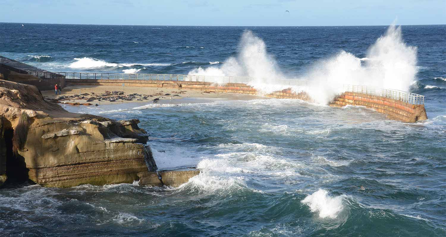
What scientists do know now is that this is the biggest El Niño in the past 60 years as measured by sea surface temperatures at the equator. Last week, the water there was 6 degrees F warmer than average. That’s even warmer than it was during this period in 1982 and 1997, when the two other major El Niño episodes in recent memory took place. At Scripps Pier, where water temperatures have been measured for 99 years, the water was 8 degrees F warmer than normal for the month of October. In recent months, the tide in San Diego has on most days been between 6 and 9 inches higher than predicted.
Warm ocean water provides fuel for storms. Another component of El Niños is that they shift the jet stream such that weather that the Pacific Northwest typically gets comes to Southern California.
“It’s like we borrow the jet stream for a season,” from the Pacific Northwest, said speaker Alex Tardy, a National Weather Service meteorologist.
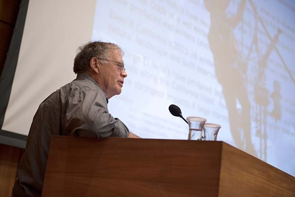
Daniel Cayan. Photo by Alethea Go/UC San Diego Publications
All this should mean that Southern California will be in for a very wet winter, especially in January, February, and March, but whether that comes to pass is due in large part to chance, with weather forecasts reliable no more than a few weeks in advance, about the same as they were during the last great El Niños. And even an epic season will still not be enough to fully restore California’s water supply levels, which have been depleted by a comparably extreme drought. The three-year period from 2011-2014 has been the driest ever, said Jones, and little separates not enough rain from more than enough.
“It’s only a small number of storms that make the difference between a wet year and a dry year,” she said.
Also in El Niños, timing is everything. The 1997-98 event was larger than the 1982-83 event, noted David Pierce, a climate scientist at Scripps, but the 1982-83 event caused much more coastal damage, churning up storms that famously blasted through the windows of La Jolla restaurants. The difference was that storms tended to hit during high tides that year, maximizing damage by when during the six-hour swings of astronomical tides they made landfall.
But while the caprices of El Niño remain as hard to predict as they were 17 years ago, the technology has at least improved, said researchers. After the science community failed to recognize the 1982 El Niño until it was wreaking havoc that winter, a flood of new federal funding sought to minimize the chance that researchers would be caught off guard again. That led to observation networks and improvements in computer simulations that gave scientists a jump on the 1997-98 event.
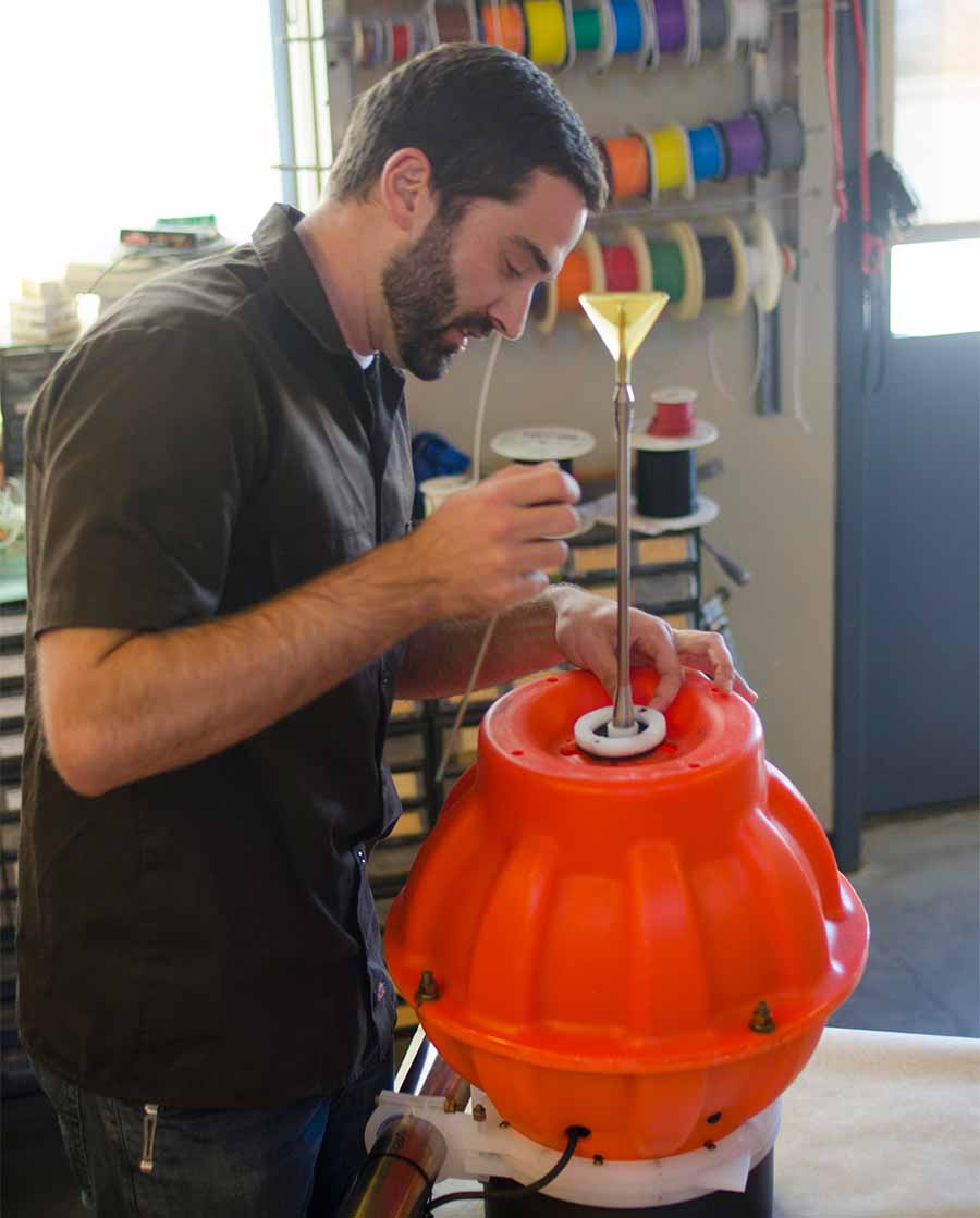
Scripps Oceanography development engineer David Black assembles a Deep SOLO instrument, designed to augment ocean measurements in the global Argo network.
After that El Niño, an international network of research floats designed primarily by Scripps Oceanography researchers began to spread throughout the world’s oceans. Now the 4,000 units of the Argo network that measure ocean temperature and salinity in every ocean basin make the signs of El Niño easier to spot. In 2014, Scripps researchers supplemented the network with 40 extra floats at the equator to beef up observations of an El Niño that was expected but ultimately fizzled. Those extra floats remain and are augmented by an array of robotic ocean measurements off California that make local weather trends far easier to pick out than in the past.
Among the robot networks is that operated by the Southern California Coastal Ocean Observing System, which this year is offering Southern California residents who live near the beach a website providing a three-day potential flooding index that superimposes the arrival times of storms onto tidal cycles.
And the sea-level rise that this year’s El Niño is bringing serves as a proxy for physical changes that may soon be commonplace. During this year’s El Niño, Scripps is planning to use aircraft-based LIDAR measurements to observe inundation and coastal erosion due to increased sea level and wave activity associated with extreme events. The event is also a first test case for the Center for Climate Change Impacts and Adaptation launched at Scripps in August. The center is devoted to finding practical ways for society to deal with the likely effects of climate change in the future.
This year’s event, say center researchers, could be a preview of the sea level that is present every year in coming decades, even when El Niño does not come around.
Share This:
You May Also Like


Stay in the Know
Keep up with all the latest from UC San Diego. Subscribe to the newsletter today.