

Aided by Scripps Oceanography, Pacific Island Country Launches Plan to Protect Marine Life
Oceanographers help create blueprint for monitoring network to counter damaging fishing practices in Palau’s territorial waters
By:
- Robert Monroe
Media Contact:
- Robert Monroe - scrippsnews@ucsd.edu
- Mario Aguilera - maguilera@ucsd.edu
Published Date
By:
- Robert Monroe
Share This:
Article Content
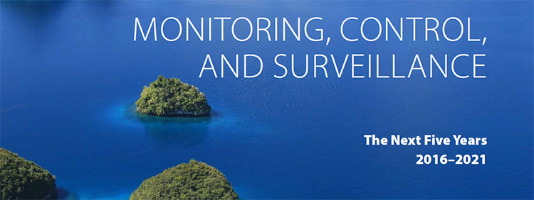
Cover of the Monitoring, Control and Surveillance (MCS) Plan document released by the government of Palau May 4.
The Pacific island country Palau has released a Monitoring, Control and Surveillance (MCS) Plan to combat illegal activity and manage emergency responses in its ocean waters, which are protected by a recently established national marine sanctuary.
Researchers at Scripps Institution of Oceanography at the University of California San Diego were key contributors to the plan announced May 4, having supported demonstrations of many of the technologies that will be the backbone of the surveillance network established in Palau’s territorial waters. The results of that U.S. Office of Naval Research- and U.S. Pacific Command-funded demonstration in 2014 allowed Scripps scientists to contribute to a report for the Palau Government that is now serving as its blueprint for MCS.
Partnering with the Pew Research Center, Scripps convened an international workshop in Palau in 2015 to bring together experts from Japan, Australia, and the U.S. to support the development of the blueprint.
“We may be a small country, but we have taken giant steps to protect our ocean,” said Palau President Tommy E. Remengesau, Jr. in a statement announcing the creation of the monitoring plan. “Island communities like ours have been the first to struggle with the negative impacts of declining ocean resources and the effects of global warming. We will continue to do everything we can to defend ourselves from poachers and the destructive effects of a changing climate, but we cannot do it alone.”
The plan is the island country’s response to threats posed by removal and destruction of marine resources by human activities, illegal fishing chief among them. Scripps physical oceanographer Eric Terrill, who has worked closely over the past six years conducting research in Palau and who worked with the Palau government to create the plan, said the surveillance network is greater than fisheries. Components of the monitoring technology included in the network will enable Palau to understand the oceanographic and climate forces that influence the marine life populations at the base of its economy. The data will also enhance Palau’s climate resilience, improving its access to information about sea-level rise, ocean acidification, and other climate change-related phenomena.
Remengesau’s office also noted that the monitoring and surveillance effort will also improve search and rescue, oil spill and disaster response, pollution detection, weather forecasting, and resilience to a changing climate. The proposed actions will also serve to enhance Palau’s national security as well as regional security.
“It is quite humbling to be able to contribute in a meaningful way to support a country’s efforts to conserve and manage its natural resources,” said Terrill, whom was asked by the Palau government in January to serve on the executive committee of the National Marine Sanctuary the country signed into law in 2015. “We are rapidly seeing a confluence of interests in the purposeful application of science and technology to support conservation issues including reducing illegal, unreported, and unregulated fishing.”
Remengesau signed the Palau National Marine Sanctuary Act into law in October, protecting an area about 500,000 square kilometers (311,000 square miles), 80 percent of the country’s exclusive economic zone (EEZ). With this action, Palau dedicated a higher percentage of its waters for protection than any other country in the world and created the world’s sixth-largest fully-protected marine reserve. The act also maintains 20 percent of the EEZ for Palau’s domestic market and local fishermen.
Some components of the monitoring and surveillance network that involve Scripps researchers are already active. Terrill’s staff is receiving real-time fishing vessel information that is used to identify patterns in fishing pressure as they relate to changes in the regional oceanography, as well as anomalous patterns that may be associated with illegal fishing. Scripps is also midway through a program sponsored by the Office of Naval Research to study the oceanography in the western Pacific region including Palau. Terrill’s team, the Coastal Observing Research and Development Center at Scripps, recently installed three high-frequency radar systems that will monitor currents and other dynamics in the area, and improve the forecast skill of ocean predictions, and other scientists at Scripps have deployed underwater gliding robots to measure changes of the interior of the ocean.
Share This:
You May Also Like


Stay in the Know
Keep up with all the latest from UC San Diego. Subscribe to the newsletter today.